EOFlare
Project description
Flaring is widely used to dispose of natural gas produced at oil and gas facilities that lack sufficient infrastructure to capture all of the gas that is produced. Because flaring is a waste disposal process, there is no systematic reporting of the flaring locations and flared gas volumes. Additionally, where flare volume data are reported, the data are typically self-reported by the flare operators or estimated from the difference between the natural gas volume produced and the quantity used or sold. It is therefore difficult to assess the reliability and accuracy of the reported data.
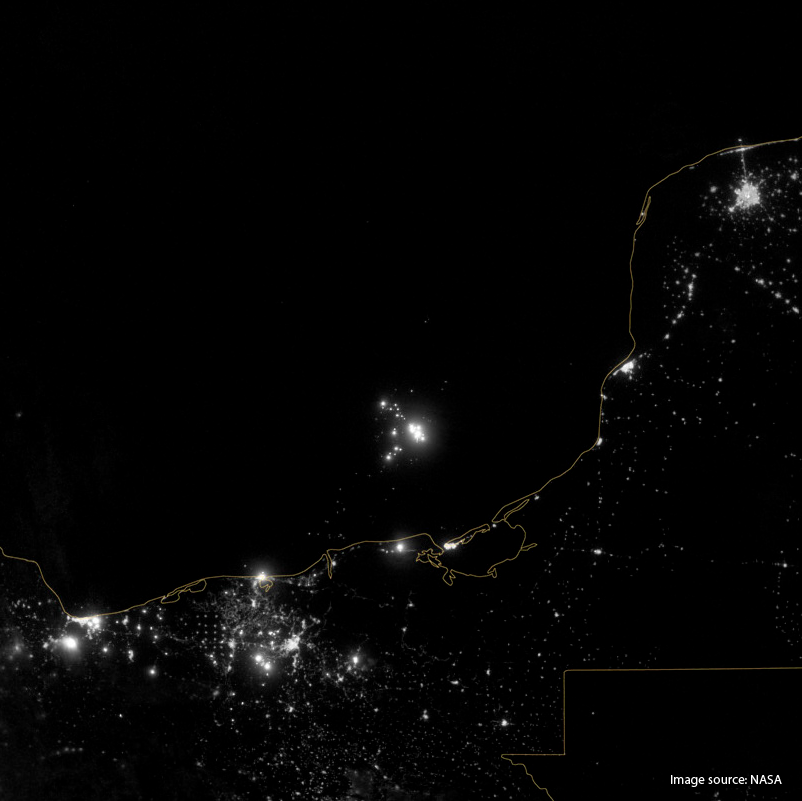
To tackle this issue, Earth Observations (EO) produced by satellites can be a promising solution with their synoptic, regular, and consistent observations. In particular, the use of optical satellites such as the Copernicus Sentinel-2 and the NASA/NOAA Suomi VIIRS (Visible Infrared Imaging Radiometer Suite) can provide valuable insights to identify and probably compute reasonable estimates on estimates of flared gas volumes. Such estimates are important for carbon cycle analyses that rely on site-specific knowledge of the locations and magnitudes of greenhouse gas emissions to the atmosphere as well as tracking of activities to reduce gas flaring.
Consequently, the aim of this offer is to develop a set of methods for the survey of artificial gas flaring generated by off-shore oil extraction platforms.
