MapX, an open geospatial platform to manage, analyze and visualize data on natural resources and the environment
Project description
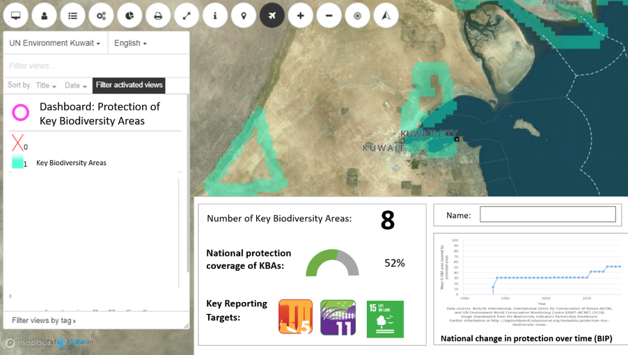
UNEP/GRID-Geneva and United Nations Environment Programme (UNEP) have developed MapX, an online, open source platform for managing geospatial data on natural resources and the environment. Field applications of MapX so far include chemicals management, disaster risk reduction, biodiversity planning, extractive industries, natural capital and environmental security. MapX targets a wide community of users that are primarily UNEP and partners, the Secretariats of Multilateral Environmental Agreements (MEAs) and other UN agencies mandated to collect and use geospatial data in environmental decision making. Civil society groups, non-governmental organizations, academia and citizens complement this set of users. MapX was designed in 2014 and improved with wide international stakeholder consultations. MapX is the geospatial component of the World Environment Situation Room (WESR) as well as the backend of the UN Biodiversity Lab. To date MapX has been piloted in more than 50 countries. Recent MapX pilots include: the development of an African Chemicals Observatory; the development of spatially-explicit natural capital dashboards (Bhutan, the Philippines, Tanzania); support to UNEP to visualize data focusing on forestry issues and protected areas (Afghanistan); support to UNEP to visualize data focusing on environmental issues surrounding settlements of refugees (Colombia, Myanmar, Uganda, Zambia); development of a story map and a data catalogue to support fragility assessment of the Sahel; and consolidation and maintenance of the backend of the UN Biodiversity Lab.


