Resource
Analysis on the Role of Bathymetry and other Environmental Parameters in the Impacts from the 2004 Indian Ocean Tsunami
Description
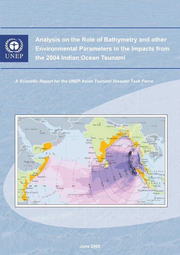
Following the tsunami that wreaked havoc in North Indian Ocean coastal areas on 26 December 2004, rapid rehabilitation of infrastructure is needed to help restore the livelihoods of local populations. A thorough understanding of factors leading to higher exposure to the tsunami is essential for improving coastal management, in order to rebuild near-shore infrastructure in a safer way. To initiate such a process, a spatial and statistical analysis was performed to identify which geophysical and biological configurations were susceptible to be associated with reduced tsunami impacts. Near-shore bathymetry (water depth), the orientation and elevation of coastlines, the distance from the earthquake epicentre and other key geomorphological parameters, presence of mangroves, coral reefs and type of fringing vegetation were all extracted using GIS technologies and correlated with maximum length of inland impacts as recorded by remote sensing or ground surveys. The results clearly indicate that the scale of impact was, in the vast majority of cases, correlated with the distance to fault lines, and the steepness and length of proximal slopes. Areas covered by sea grass were less impacted, whereas areas behind coral reefs were more affected. This is surprising as coral reefs are known to protect from normal waves, and may be because tsunami wavelengths are up to a thousand times longer than other waves. Areas covered by mangroves were less impacted than other areas, probably because mangrove communities tend to be located in sheltered coastal areas. The results provided here are based on information available between February and June 2005, and the model is based on global data sets applied to the 2004 Indian Ocean tsunami. Variation in wavelength and origin contributed to diversity among the findings. A more detailed study should be carried out to allow the local-level analysis that is needed for coastal management.