Resource
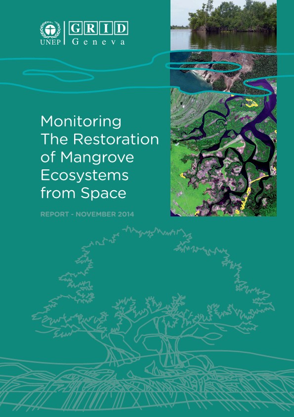
Monitoring the restauration of mangrove ecosystems from space
Description
Mangrove establishment and rehabilitation projects have had varying levels of success at different locations around the world. Given the money that has been invested in restoring mangrove coverage, it is useful to map, monitor and compare results and experiences in different parts of the globe to compare the success of such projects. This study conducted temporal analyses for 24 mangrove sites from 10 different projects in six different countries (Senegal, the United Arab Emirates, Madagascar, Kenya, Solomon Island and Indonesia) using satellite imagery and GIS technology to map and monitor their status. Given that many of the sites were small, very high-resolution satellite imagery (0.45, 0.6 and 1 metre resolution from Worldview, Quickbird and Ikonos, respectively) was used.