Marine Sand Watch
This platform monitors large vessels dredging sand, sediment and rock in the marine environment all around the world using the “automatic identification system (AIS)” emitted by dredging vessels, which provides identifying information and their real time position. This platform provides all stakeholders including Member States and the dredging sector with the required data and information to engage in talks with UNEP on how to improve dredging standards around the world.
The dredging vessels are identified by the characteristic way they move over time allowing us to quantify activities such as dredging, dumping, transiting and discharging material to shore.
The platform identifies:
- dredging vessels around the world;
- areas where sediment is being extracted;
- estimation of volume of sediment extracted;
- other types of activities (e.g. cleaning channels, land reclamation projects,...)
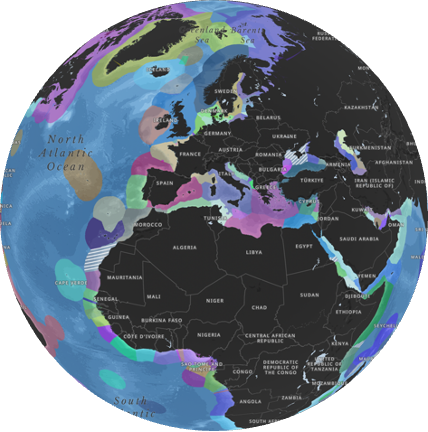
Currently the public version of the Marine Sand Watch platform provides global maps for the following types of activities:
- Maintenance dredging
- Sand trading at ports and hubs
- Potential capital discharging
- Potential sand mining and concessions
- Total activities, number of vessels, number of operators, and sediment extraction by 200 nautical mile zones
Furthermore, UNEP holds the information on the volumes and the duration dredged for each of the shown locations and the actors involved.
Development: UNEP/GRID-Geneva, UNEP – University of Geneva.
Research partners and data providers: Global Fishing Watch
The research and developments were financed by the Swiss Federal Office for the Environment and German Federal Ministry for the Environment, Nature Conservation, Nuclear Safety and Consumer Protection
Video introducing the Marine Sand Watch
Useful links:
- UNEP/GRID-Geneva dedicated sand page: https://unepgrid.ch/sand
- Sand and sustainability 2022 report: https://www.unep.org/resources/report/sand-and-sustainability-10-strategic-recommendations-avert-crisis
- UNEP-FI report: https://www.unepfi.org/publications/harmful-marine-extractives-dredging-marine-aggregate-extraction/
