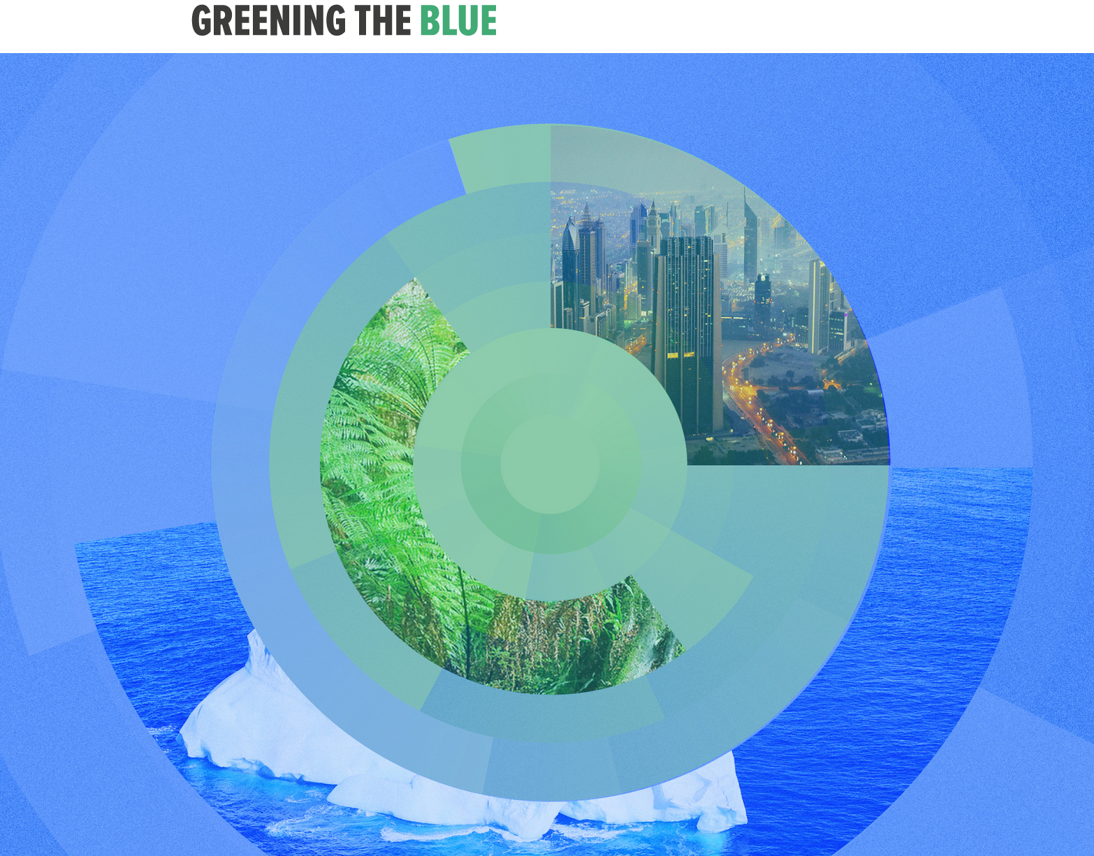
Project
Jan. 15 2024
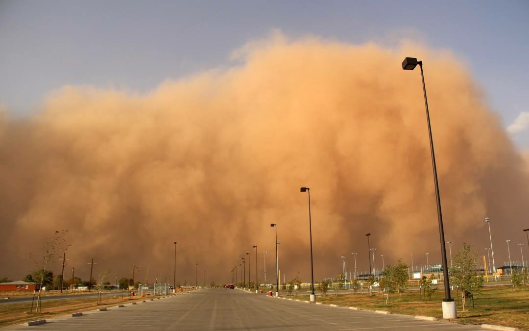
Sand and dust storms hazards mapping
Unveiling sand and dust storms trends: a global insight into the frequency and intensity of events.
GRID-Geneva is involved in many projects at various scales: local, country, European and global scales. This section allows one to find out about all GRID projects, past and present.
Unveiling sand and dust storms trends: a global insight into the frequency and intensity of events.
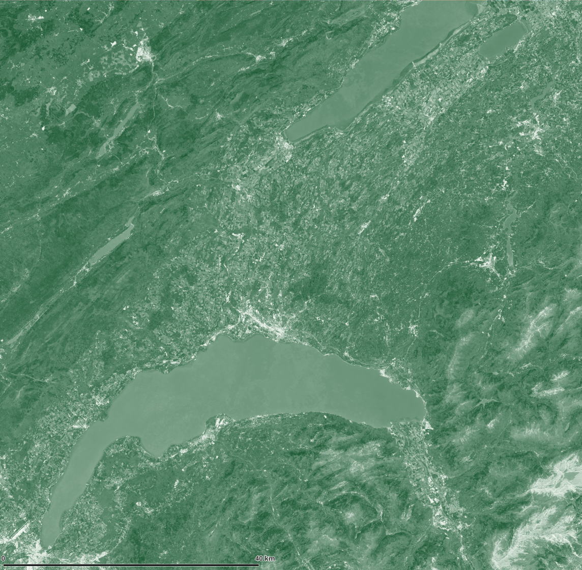
To develop an annual monitoring tool for the Canton of Vaud's Direction générale de l'environnement/Division Géologie, sols & déchets (GEODE) to track changes in the canton's vegetation cover rate, with the aim of determining an annual cover rate, essential for anticipating runoff concerns.
Digital technologies are offering to researchers the opportunity to access big spatio-temporal data that enable the application of modern technologies (Artificial Intelligence, Internet of Things, Machine Learning, etc.) to study and model phenomena evolution and elaborate effective solutions to support coping with a number of very relevant societal issues.

Development of a regional environmental platform to serve as a central repository of all the data generated by the child projects of the Global Environment Facility (GEF) MedProgramme
Production of regional thematic maps for the Mediterranean Quality Status Report (MED QSR) 2023 website
Assess and improve the Green Inventory process

Discover a country through its environmental situation data
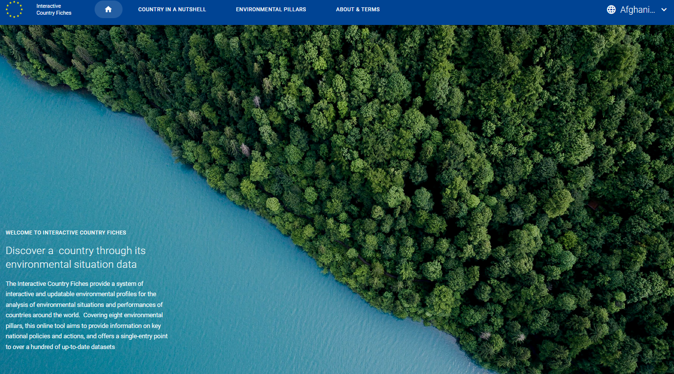
Discover a country through its environmental situation data
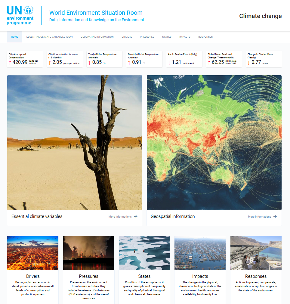
Data, information and Knowledge on the Climate Change
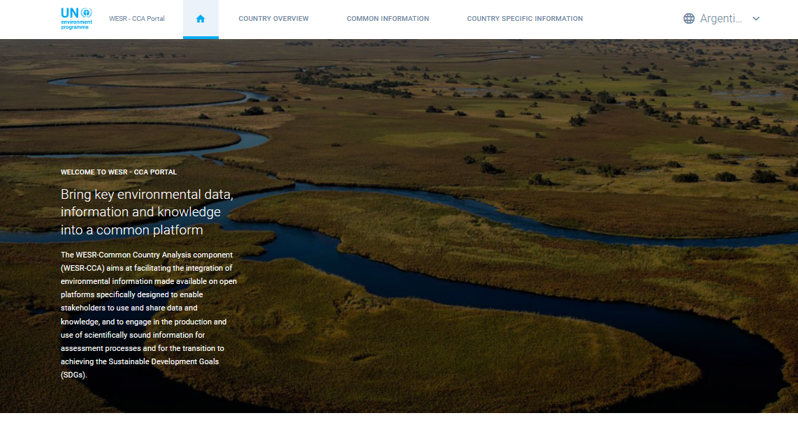
Bring key environmental data, information and knowledge into a common platform
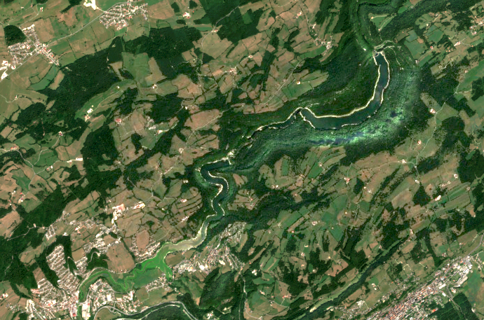
Pilot study on the evaluation of aerial photographs and other remote sensing methods to detect dry watercourse sections during drought periods
Off-Shore Gas Flaring Identification using optical satellite imagery