Project
Jan. 15 2024
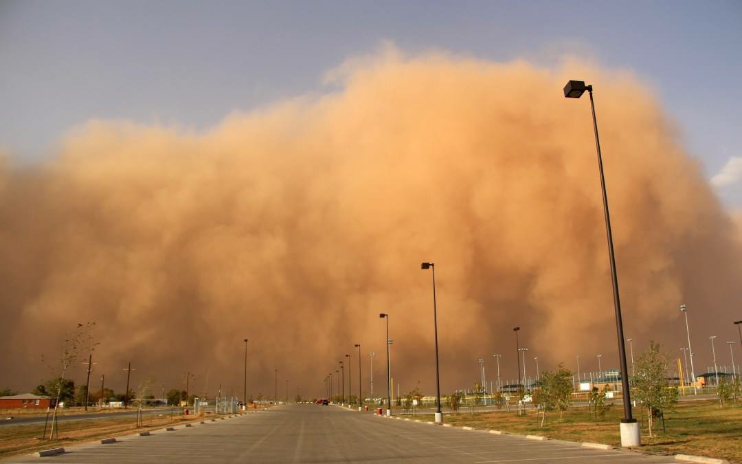
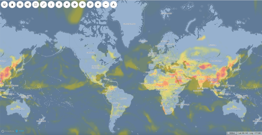
Sand and dust storms hazards mapping
Unveiling sand and dust storms trends: a global insight into the frequency and intensity of events.
GRID-Geneva is involved in many projects at various scales: local, country, European and global scales. This section allows one to find out about all GRID projects, past and present.
Unveiling sand and dust storms trends: a global insight into the frequency and intensity of events.

Spatializing the Nexus Environmental Assessment Tool (NEAT+) using MapX

Testing available Artificial Intelligence tools for Big Data Processing in support of Environmental monitoring.
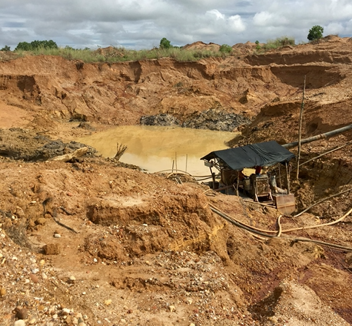
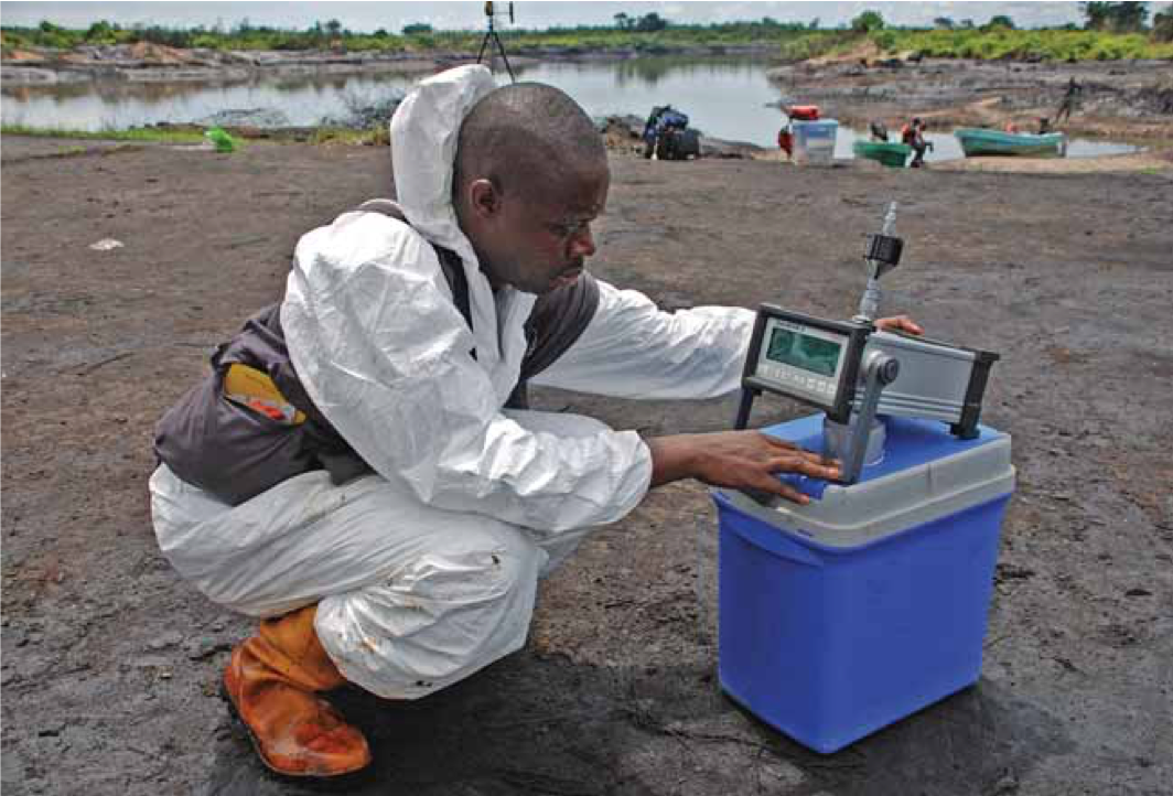
Early-Warning to the Impacts of Alluvial Mining on Sensitive Areas Using Earth Observation.
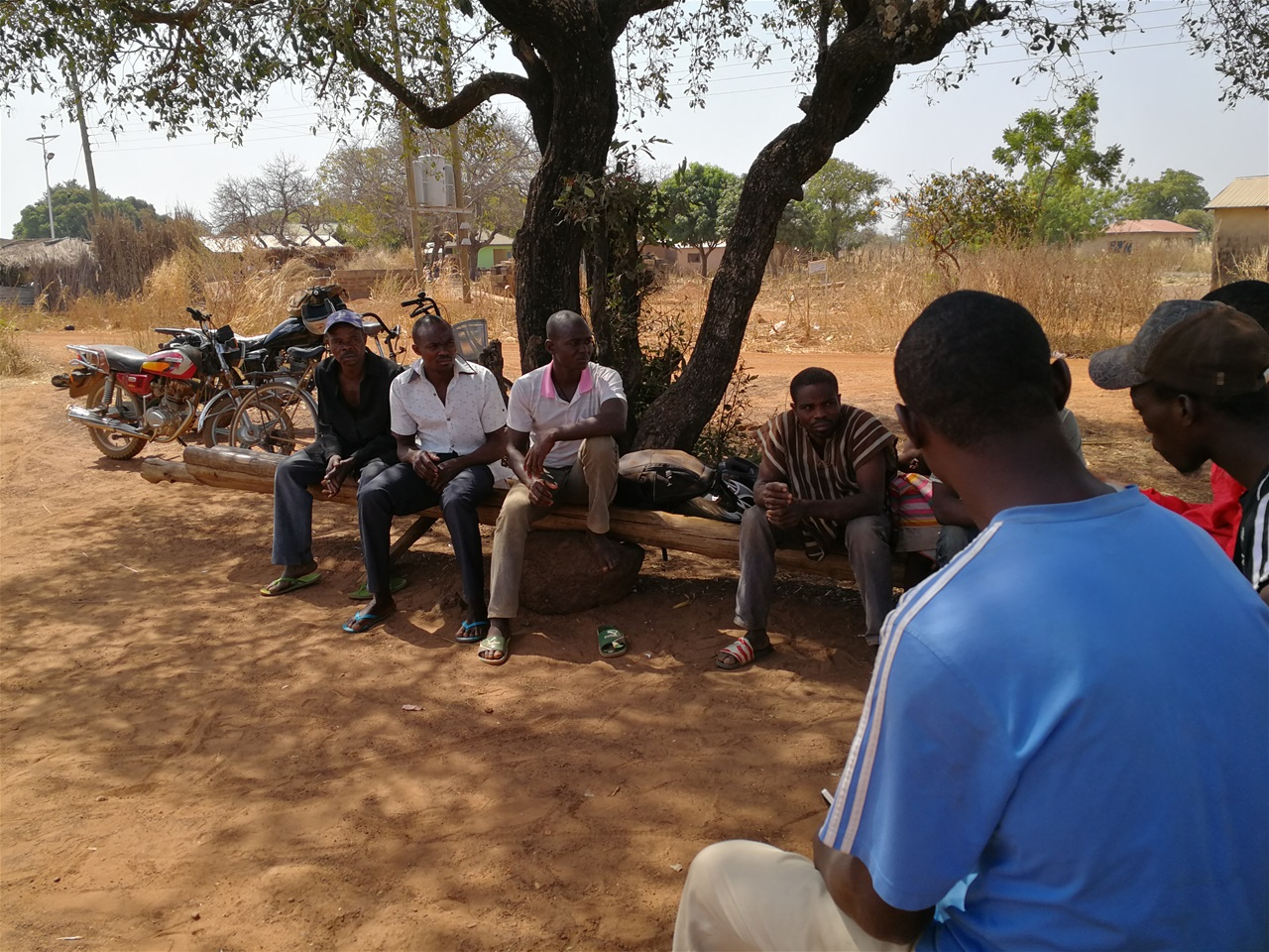
Development of Time Robust Geospatial Information for sustainable mining in Ghana.
In support of the cities of Addis Ababa, Nairobi and Cape Town, mapping pollution levels.
Using the TEEB initiative to promote a better understanding of the value of ecosystem services.
Monitor country progresses on SDGs, IAEGs and other environmental statistics
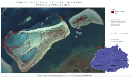
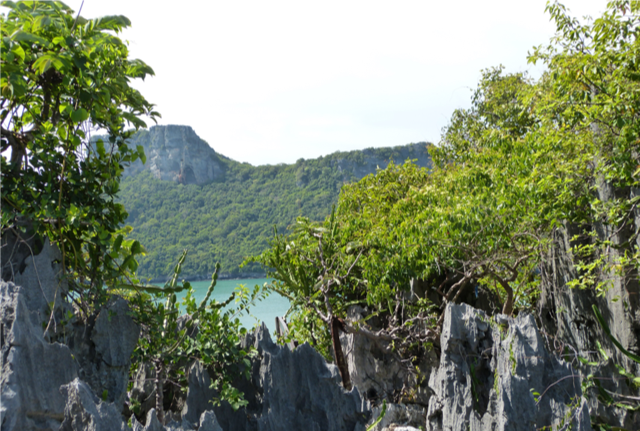
Satellite Data cube technology for Pacific Islands states (Vanuatu, Fiji and Solomon islands).
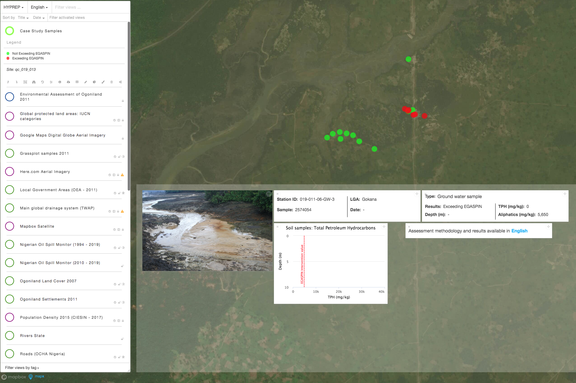

The group of chemicals known as Persistent Organic Pollutants (POPs) are globally banned by the Stockholm Convention. Mapping progresses.