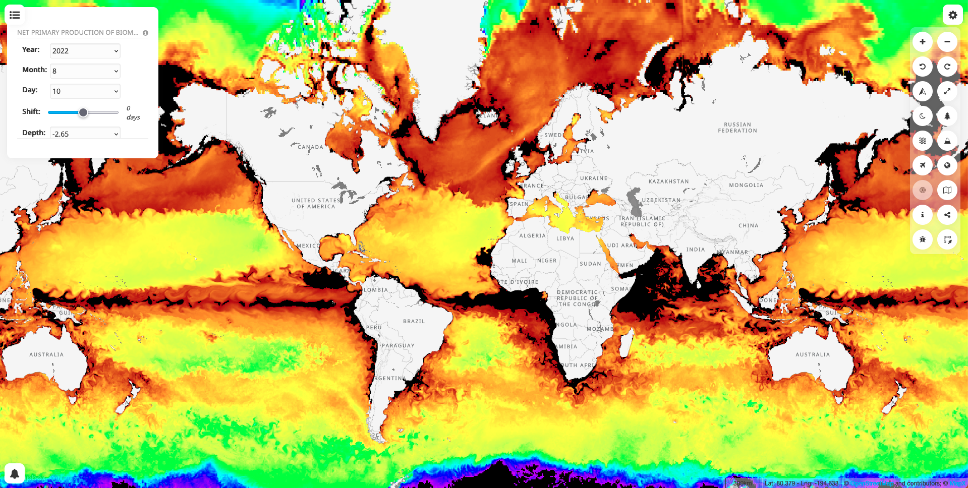
17 new geospatial datasets, directly streamed from Marine Copernicus Services, have just been published on MapX. It is possible to visualize the data in real time but also past data (from 3 years ago, up to present day and a few forecast days depending on the layer) and at multiple depths. Each layer has sliders and drop-down lists to manage the depth and the time dimensions to be displayed on map.
| Layer | Time dimension
|
Depth dimension
|
| Mass concentration of chlorophyll a in sea water
|
TRUE | TRUE |
| Net primary production of biomass expressed as carbon per unit volume in sea water
|
TRUE
|
TRUE
|
| Mole concentration of dissolved inorganic carbon in sea water
|
TRUE
|
TRUE
|
| Mole concentration of dissolved molecular oxygen in sea water
|
TRUE
|
TRUE
|
| Sea water ph reported on total scale
|
TRUE
|
TRUE
|
| Mole concentration of nitrate in sea water
|
TRUE
|
TRUE
|
| Mole concentration of phosphate in sea water
|
TRUE
|
TRUE
|
| Sea water velocity
|
TRUE
|
TRUE
|
| Upward sea water velocity
|
TRUE
|
TRUE
|
| Sea water salinity
|
TRUE
|
TRUE
|
| Ocean mixed layer thickness defined by sigma theta
|
TRUE
|
FALSE |
| Sea surface primary swell wave - Significant height
|
TRUE
|
FALSE
|
| Sea surface primary swell wave - Mean period
|
TRUE
|
FALSE
|
| Sea surface primary swell wave - Direction
|
TRUE
|
FALSE
|
| Sea water potential temperature
|
TRUE
|
TRUE
|
| Surface partial pressure of carbon dioxide in sea water
|
TRUE
|
FALSE
|
| Sea ice thickness
|
TRUE
|
FALSE
|