Project
Sep. 1 2022
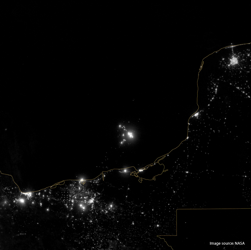
EOFlare
Off-Shore Gas Flaring Identification using optical satellite imagery
GRID-Geneva is involved in many projects at various scales: local, country, European and global scales. This section allows one to find out about all GRID projects, past and present.
Off-Shore Gas Flaring Identification using optical satellite imagery
Competence center for standardization in the field of geographic information
Delivery of knowledge for climate adaptation and mitigation through the GEOSS infrastructure (Global Earth Observation System of Systems)

TRAjectories of Changes in Environmental and Societal data
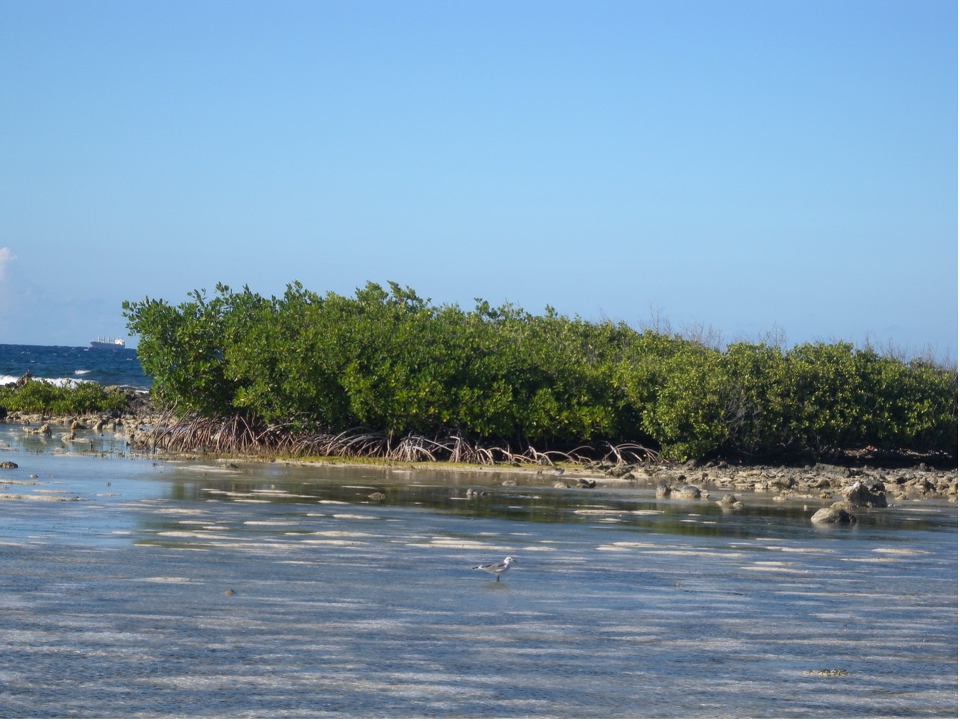
Development of a regional environmental platform for the Caribbean Sea and Wider Caribbean Region, with a focus on marine biodiversity and marine pollution
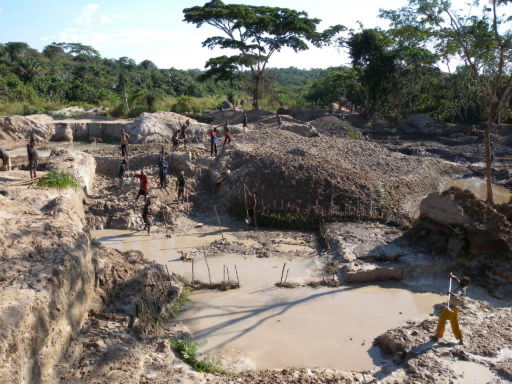
Remote Sensing in support of artisanal and small-scale gold mining (ASGM) policy development and evaluation
Enabling access to geospatial datasets relevant for Plan Bleu, other Regional Activity Centers (such as MedWaves), the Mediterranean Action Plan secretariat and the contracting parties of the Barcelona Convention

Spatializing the Nexus Environmental Assessment Tool (NEAT+) using MapX

Testing available Artificial Intelligence tools for Big Data Processing in support of Environmental monitoring.
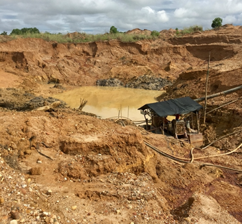
Early-Warning to the Impacts of Alluvial Mining on Sensitive Areas Using Earth Observation.
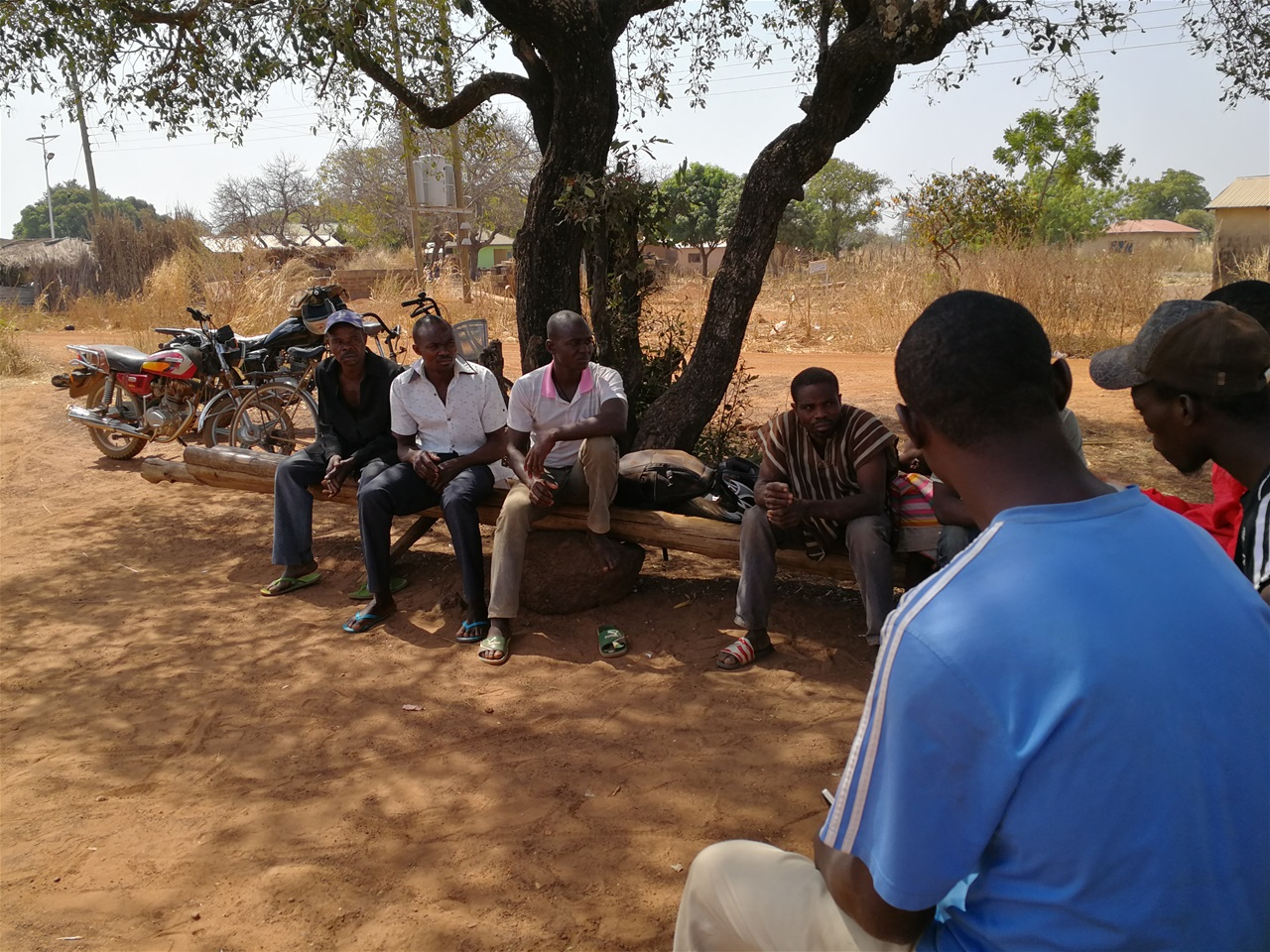
Development of Time Robust Geospatial Information for sustainable mining in Ghana.

Explore Mountain data taking into account mountain specificities in sustainable development.